SoundIQ is a partnership between Northwest Straits Commission, the Marine Resources Committees, Washington State Department of Ecology and the City of Bellingham.
The goal of SoundIQ is to make Northwest Straits Initiative data easily accessible and useful to a variety of users.
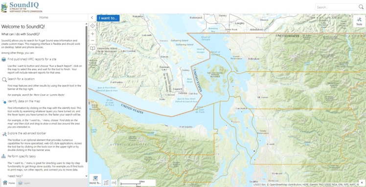
SoundIQ is the Northwest Straits Commission’s web-based application to share data collected by MRCs and the Commission in an easily-accessible map format. MRC data on SoundIQ can be viewed in combination with complementary data from other sources.
Click here for a SoundIQ printable handout
SoundIQ incorporates data from all seven Northwest Straits counties on a software platform called Geocortex, which supports the system for use on mobile devices.
Click here for SoundIQ quick start guide
SoundIQ is a partnership between Northwest Straits Commission, the Marine Resources Committees, Washington State Department of Ecology and the City of Bellingham.