Bull Kelp Monitoring
BOAT-BASED SURVEYS
Island County MRC conducts annual boat-based surveys of selected beds (see map below). Using handheld GPS units and small boats, volunteers map the perimeter of beds and collect accessory data such as water temperatures and bed depth estimates. These monthly surveys occur during the bull kelp growing season at a zero-foot tidal height. In addition to mapping, surveyors also record observations of animals using kelp beds.
Data are shared with the Northwest Straits Commission for comparison with similar information collected by other northwest straits counties and further analysis is available in our 2025 Bull Kelp Report.
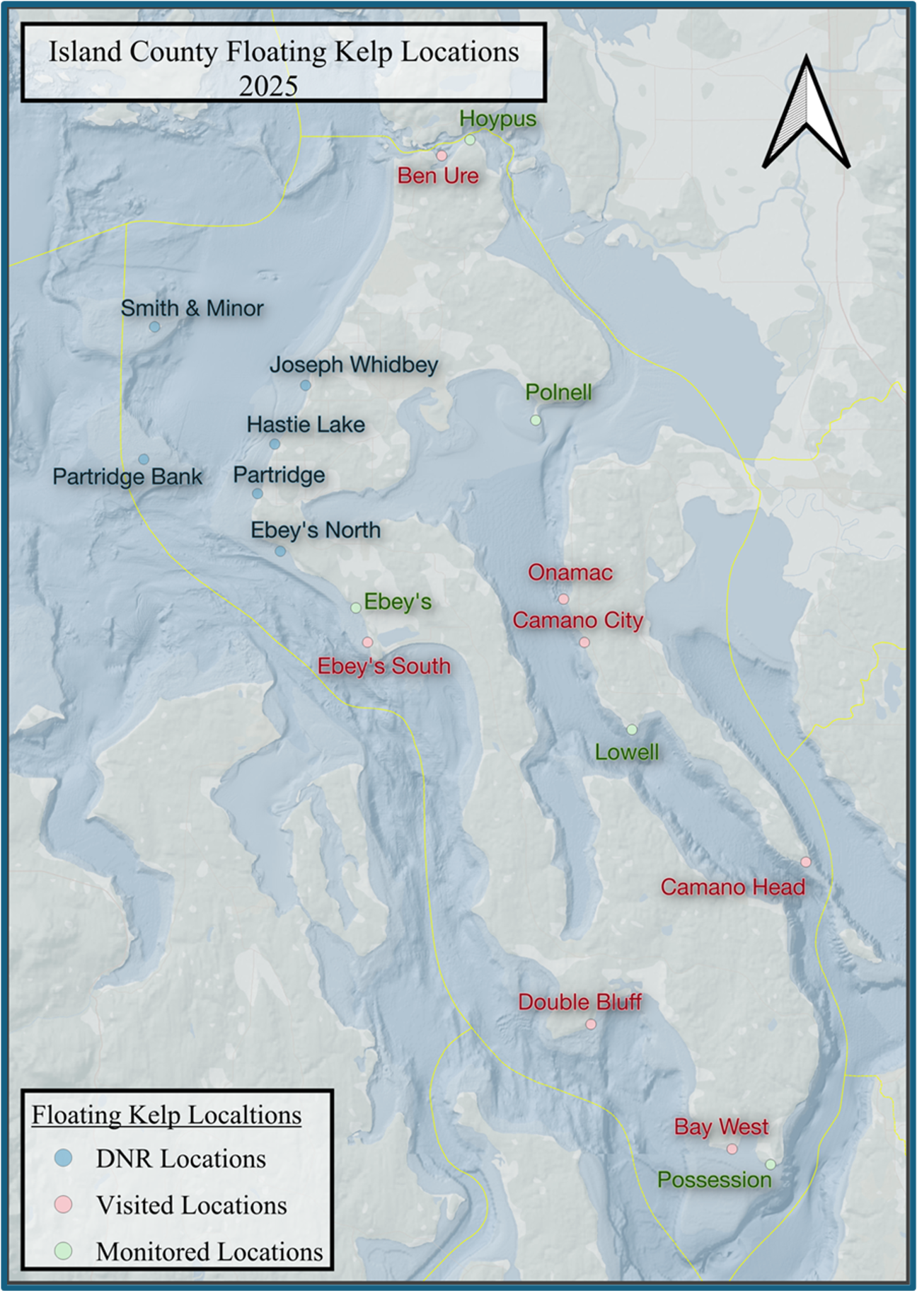
Fig 1. In this figure, Beds of Floating Bull Kelp Expression within Island County and the greater Whidbey Basin are depicted.
Taking a Deeper Dive into One of Our Monitoring Sites:
Possession Point

Compares the Maximum Sea Surface Expression in August 2024 (gray) with that of August 2025(blue) at the Possession Point Monitoring Site. Their respective perimeters are outlined in gold and black.

Compares the Sea Surface Expression During the Full Monitoring Season from June - September at the Possession Point Monitoring Site.
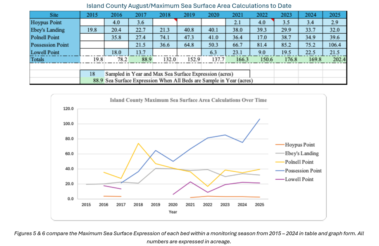
Island County Maximum Sea Surface Area to Date - August 2025
This August, the IC MRC Floating Kelp Monitoring Project recorded ~202 acres of bull kelp across the five monitored beds, an increase from ~170 acres observed in 2024.
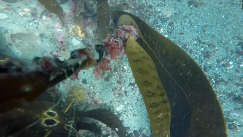
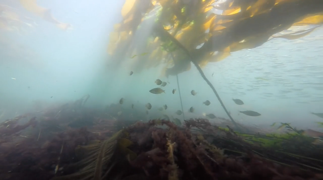
Bull kelp forests (Nereocystis luetkeana) are important habitats for all types of marine animals. Endangered and threatened species, such as pinto abalone and yelloweye rockfish, depend on bull kelp forests for shelter and nutrients. Animals critical to the food web, such as herring, use bull kelp forests for protection and food during certain life stages.
VIDEOS
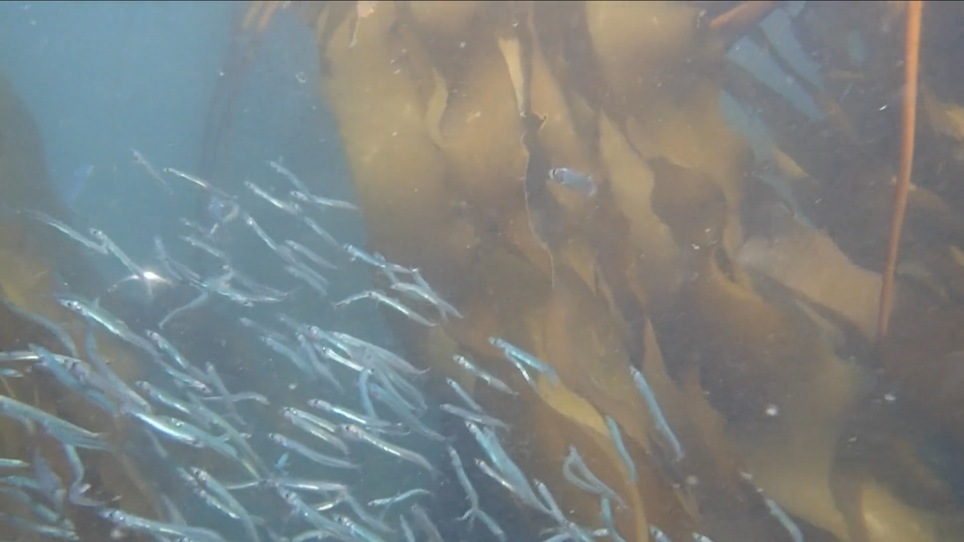
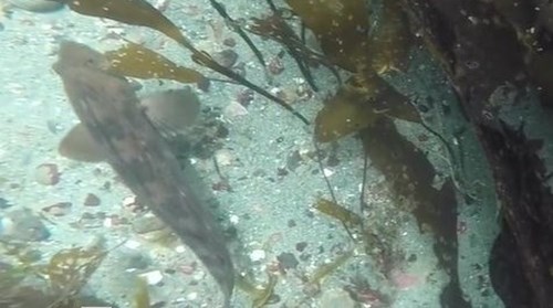
Here are some short videos of a few of the amazing species that live in bull kelp.
NEW VIDEO: Sand lance
NEW VIDEO: Ling cod
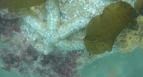
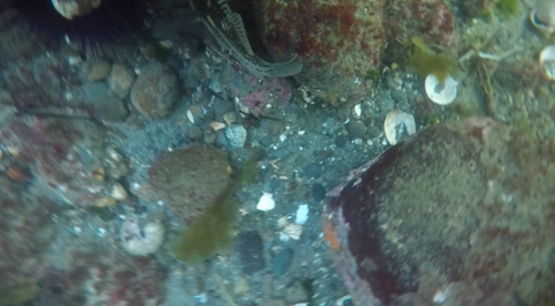
NEW VIDEO: Sea stars, sea cucumbers, & ratfish
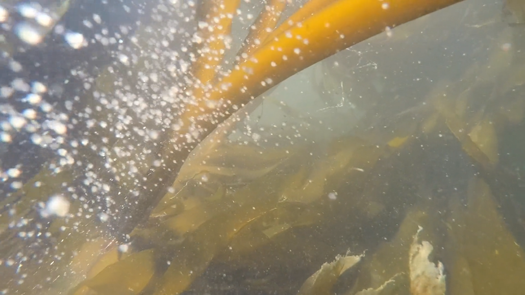
NEW VIDEO: Bull kelp understory
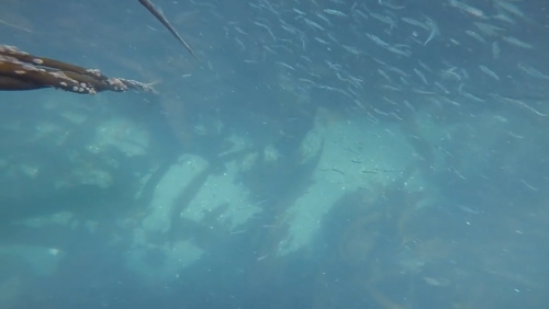
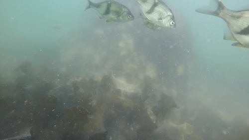
NEW VIDEO: Dense schools of small fish
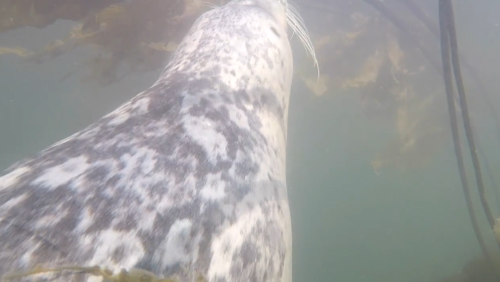
NEW VIDEO: Harbor seal
Shiner perch
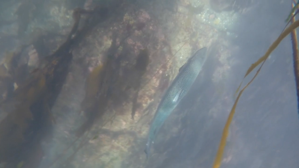
Adult salmon
Crab zoea
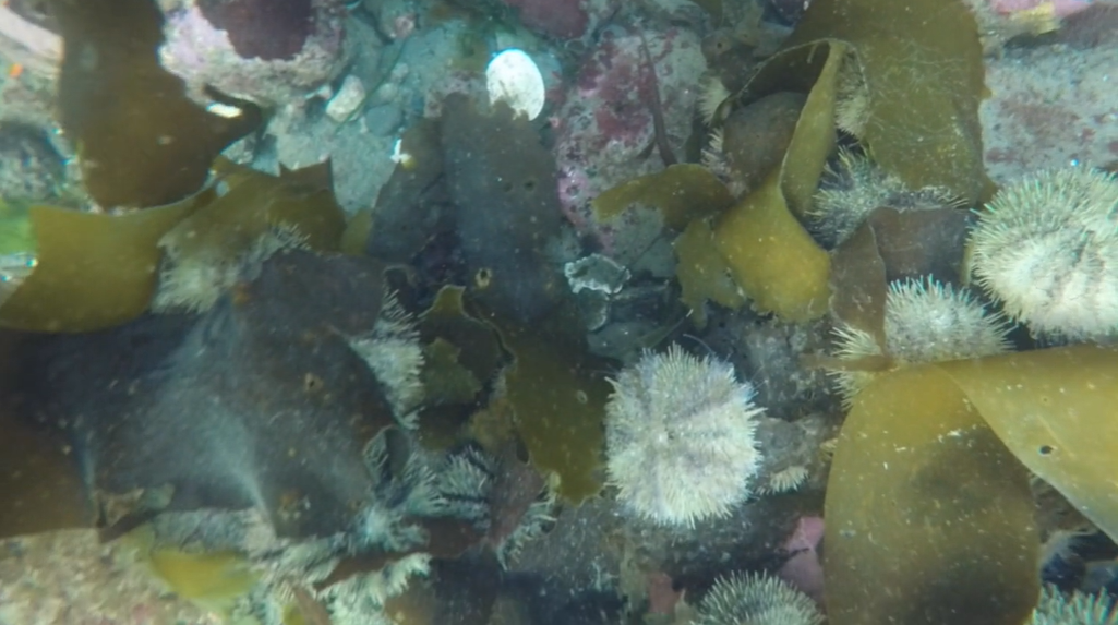
Green urchins
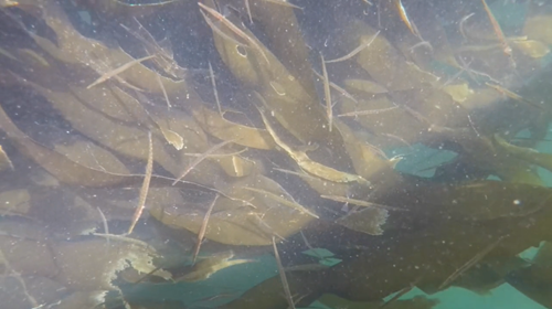
Tubesnouts
Adult rockfish
Pile perch
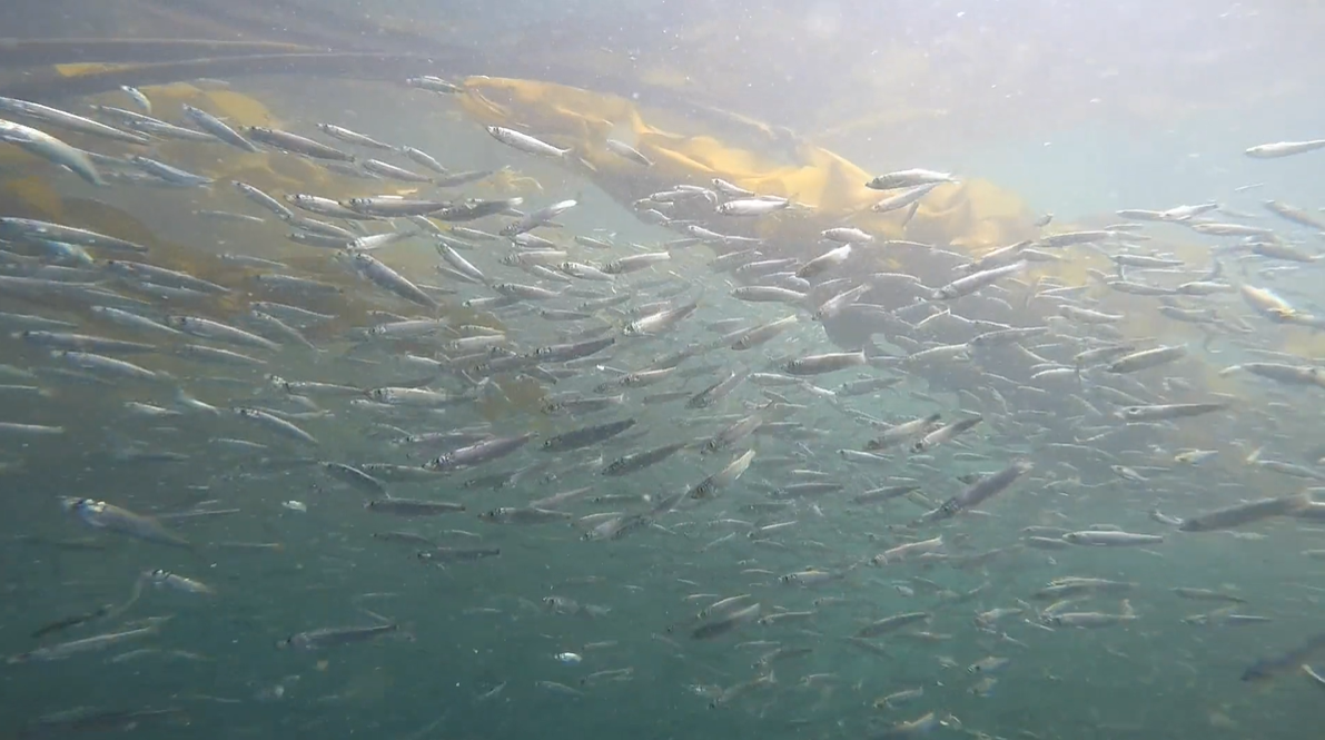
Juvenile Pacific herring
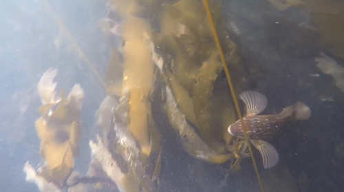
Male kelp greenling
ANNUAL REPORTS
More Information
- Northwest Straits Commission's kelp recovery page and the Northwest Straits Commission Story Map.
- Make sure to check out SoundIQ to explore more ocean data!
- Encyclopedia of Puget Sound's kelp page
- Washington Department of Natural Resource's Floating Kelp Indicator